How were Phang Nga Bay’s limestone islands and lagoons formed?

Phang Nga Bay’s islands belong to a limestone karst landscape: water has dissolved and worn away soluble rock over long periods, leaving steep hills, passages and hollows. Sea flooding around the remaining hills helped create the island scenery you see today. From a canoe, you can notice the larger shapes and the smaller water-shaped details without needing a geology background.
Join us on the bay — choose your dateIn this article
Begin with the rock before the islands
Limestone is a sedimentary rock made mainly of calcium carbonate. Much limestone forms from material that accumulates in marine environments, including carbonate remains and sediments. The US Geological Survey’s limestone overview explains the composition and the kinds of environments where carbonate rocks form.
Keep two stages separate in your mind: forming the rock and shaping the landscape you now see. A rock can be far older than a cliff face, cave opening or present shoreline. That is why a single age attached to a tourism photograph can be misleading. Without a site-specific geological reference, it is better to describe the processes than assign the same precise age to every island and hollow.
Understand what karst means
Karst describes landscapes where water dissolves soluble rock and develops features such as hollows, caves and underground drainage. In limestone, water can move through joints and other openings, gradually enlarging routes that were once much smaller. The result is uneven: some areas lose more rock than others, so walls and towers remain between spaces that have widened.
The National Park Service’s explanation of cave formation describes how water containing carbon dioxide forms a weak acid that can dissolve carbonate rock. You do not need to imagine a dramatic flood carving the entire bay at once. Think of repeated water movement acting on a rock mass with different fractures and pathways over a long time.
See why hills can become islands
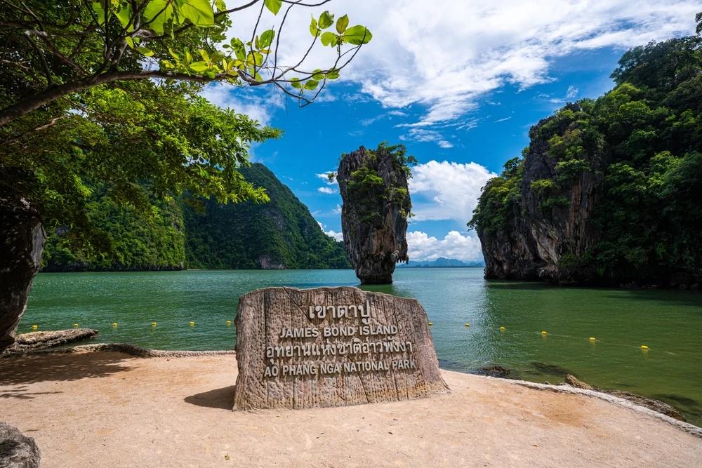
The ASEAN protected-area description identifies limestone hills flooded by the sea. When seawater surrounds the lower parts of a landscape, the higher remnants stand above it as islands. The current water surface hides some of the relief that would be visible on land.
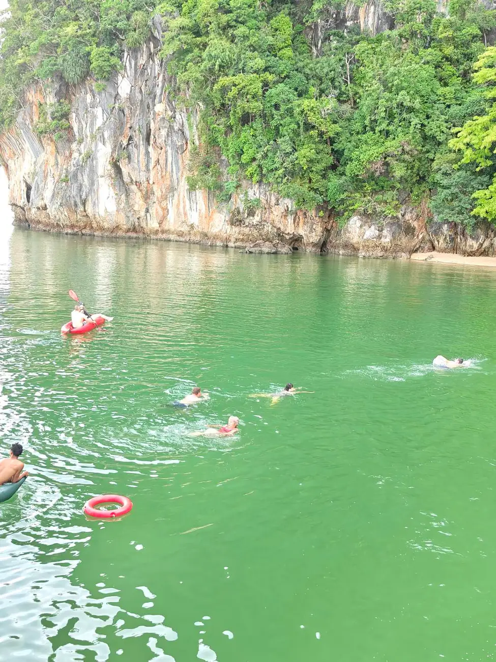
Look across the bay from the main boat and compare the silhouettes. Some forms appear broad and rounded, others narrow and steep. Your viewing angle can make two separate islands seem joined or hide a passage between them. As the boat moves, watch those relationships change. It is a useful way to read the landscape before you move close to a cliff in a canoe.
Distinguish a cave, an overhang and a hong
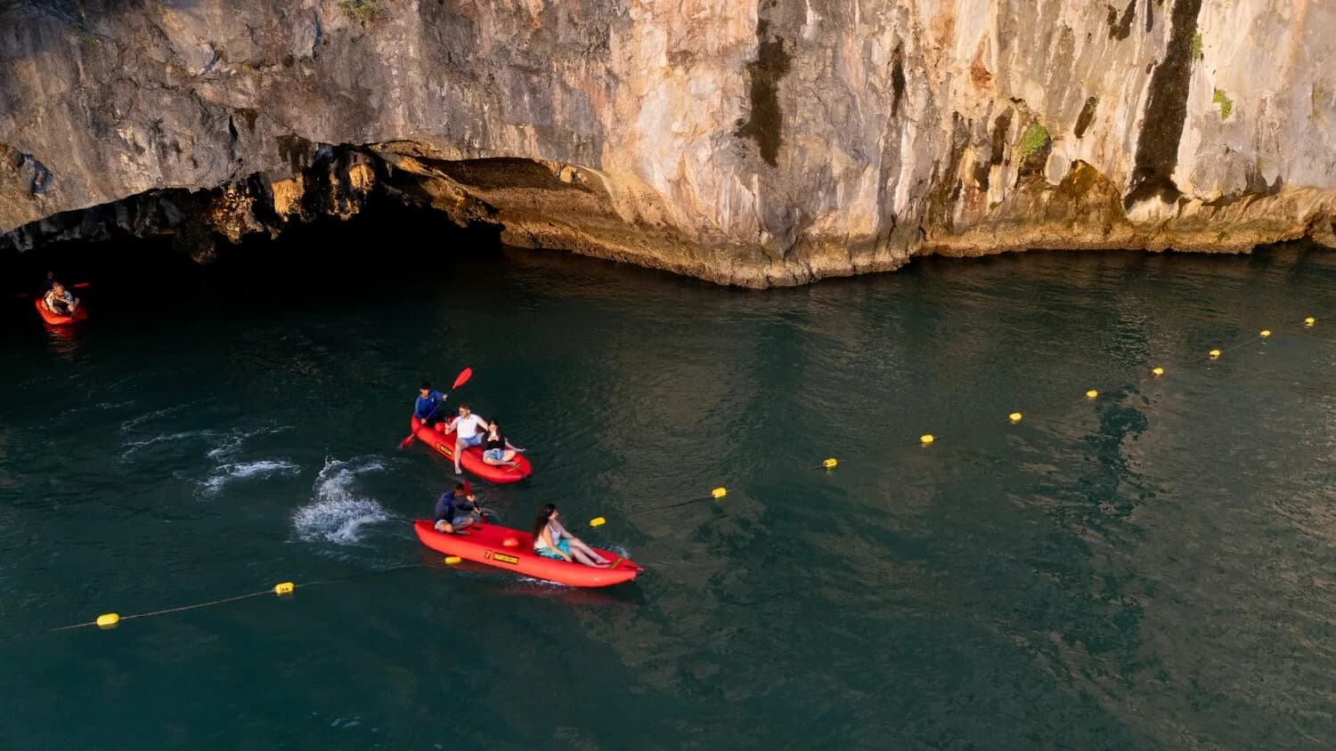
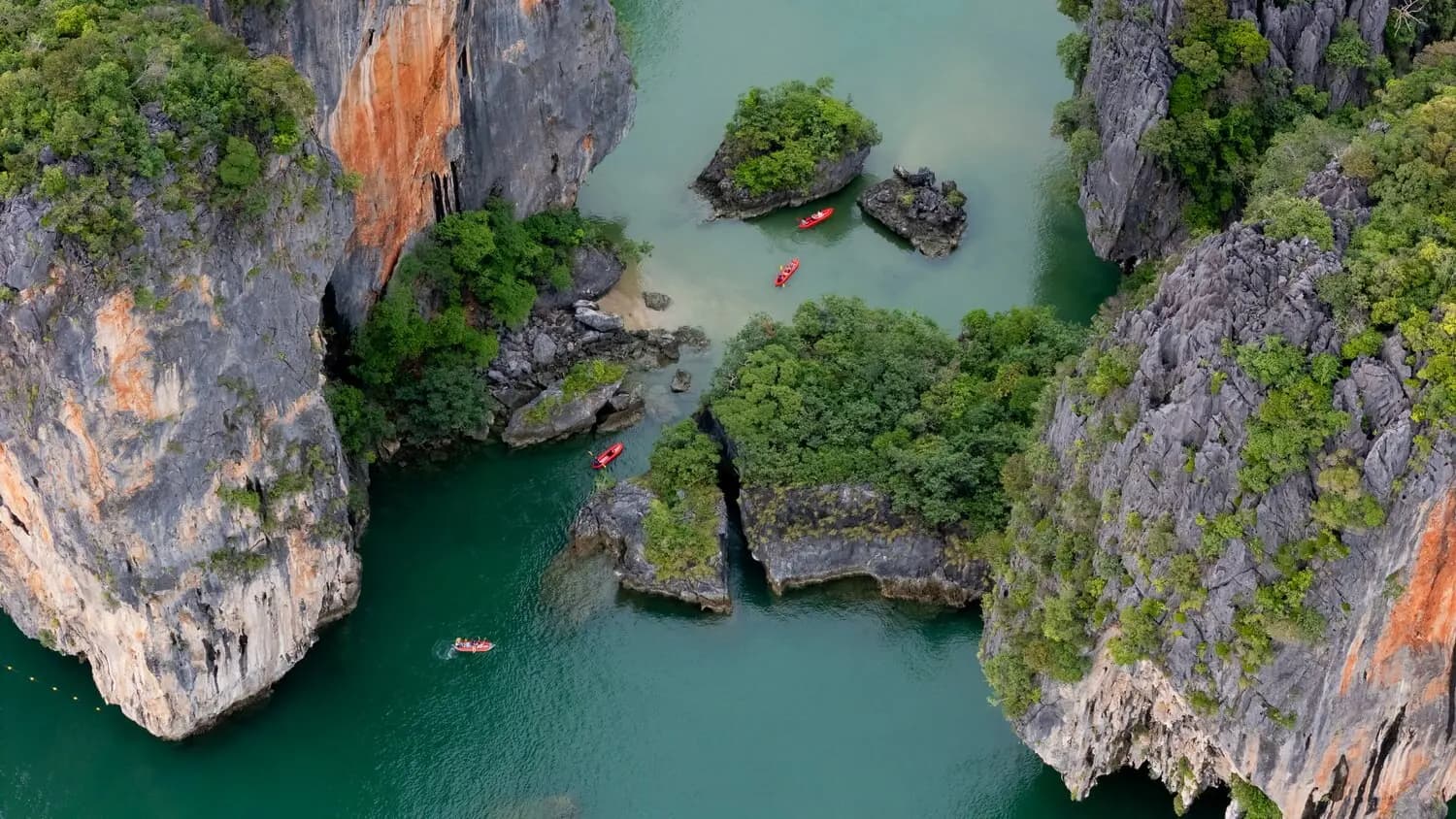
An overhang is rock projecting above the space beneath it. A cave continues into the rock. A hong is an enclosed interior space, often described as a room, that may open to the sky and connect with the sea through a passage. These words describe different features, even when an itinerary groups them into one canoe excursion.
The Tourism Authority of Thailand’s account of the bay’s hongs describes open chambers associated with collapsed cave roofs and access through low tunnels at suitable tides. That explains the appeal of moving from a shaded passage towards an open interior. It does not mean every lagoon formed through an identical sequence or that every passage is accessible on your visit.
| Feature | What to notice from a suitable viewpoint |
|---|---|
| Limestone cliff | Its overall profile, fractures and changes in surface texture |
| Overhang | The rock projecting above the water or shoreline |
| Cave entrance | An opening leading into the rock; access requires the crew’s assessment |
| Hong | An enclosed interior with surrounding walls and an open sky above |
Look closely without turning observation into a claim
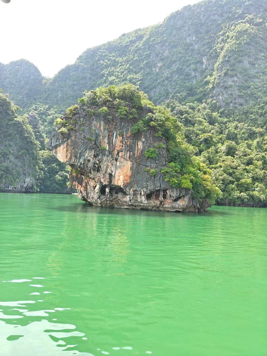
From water level, you can see details that merge into a single dark band from the main boat. Look for grooves, cracks, hanging forms and changes in colour. Notice where vegetation finds a foothold and how the rock surface changes between shade and sunlight. You can enjoy those observations without touching the wall or leaning out of the canoe.
Avoid diagnosing every mark from its appearance. A dark patch does not identify one mineral, and an orange surface does not establish the age of the rock. Several processes can affect an exposed cliff. Ask your guide about the features they know, and keep questions open when the evidence is uncertain. A clear photograph is a better souvenir than a confident explanation you cannot support.
Connect the geology with the route you can take
The spaces within the limestone do not stay equally accessible through the day. At a low passage, the paddler needs to consider both the water beneath the canoe and the clearance above it. The tide changes those margins. Weather and local conditions add further limits to the route.
Read our Panak Island cave guide and Hong Island guide for the visitor perspective. Treat the crew’s decision as part of exploring this landscape. An attractive opening is not an invitation to enter independently, and a photograph showing a canoe inside does not tell you the conditions when that photograph was taken.
Choose a few details to watch during your trip
Before the canoe outing, pick one large feature and one small detail to look for. You might compare the outline of a tower from the main boat with the grooves along a closer wall, or notice how an enclosed space changes the view of the sky. This gives you something specific to observe without spending the entire outing behind a phone.
Keep hands and equipment clear of the rock, leave loose material where it is and follow the paddler’s instructions about posture and movement. Twilight Sea Canoe’s Evening Glow programme combines the broader bay journey with guided canoe sections, giving you different viewing distances. You can use those changes in perspective to understand the scenery as well as photograph it.
Questions before you go
Are Phang Nga Bay’s islands volcanic?
The characteristic towers discussed here are limestone karst features. Their shape relates to the history of the limestone, its dissolution and erosion, and the sea surrounding the remaining hills.
Does every hong have a collapsed cave roof?
Roof collapse helps explain many enclosed open chambers, but individual landforms have their own histories. Avoid assuming that every lagoon or hollow formed through exactly the same sequence.
Can I enter a cave whenever the tide is low?
No. Low water may reduce depth beneath the canoe, while higher water may reduce overhead clearance. The crew assesses the particular passage and conditions; a tide level alone does not establish safe access.